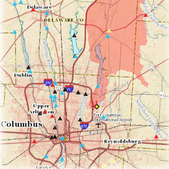
Water quality and chemical assessments are just some of the many services MBI offers. Such evaluations reveal the impacts (or absence) of local stressors near the sampling sites in a river or stream as well as potential sources of ecological impairment further upstream in the watershed. A critical aspect of conducting these water quality surveys is to determine the drainage area for each sampling site.
Delineating a watershed may be accomplished through a variety of methods. For example, ESRI's Arc Hydro data model and toolset as well as the National Hydrography Dataset (NHD) Plus are beneficial resources for calculating drainage areas. One of the quickest, and easiest, applications is available online at the U.S. Geological Survey's (USGS) StreamStats website (http://water.usgs.gov/osw/streamstats/). This interactive map allows users to enter predefined coordinates or simply use the cursor to select the desired watershed to delineate. In addition to viewing the watershed boundary, users are also able to download the shapefile and view a variety of flow and basin characteristics (examples shown below).
MBI applies the watershed data obtained from USGS StreamStats (or a comparable application) towards many projects throughout the Midwest. Such information aids in the preparation of a complete analysis for water quality and chemical assessments.

